Table of Contents
What Is Geological Site Investigation?
Geological site investigation plays an important role in construction projects that involve any type of construction, excavation or alteration of the soil.
Geological site investigation is done to check the geological and soil characteristics of the site, which is essential for planning, designing and constructing any project.
Various types of data are collected during the site investigation process, including geological mapping, geophysical surveying, drilling and sampling. This information helps determine the physical and mechanical properties of soil and rock, the location and depth of bedrock, and the presence of any potential geological hazards or soil contaminants.
This data is used to make an informed decision about the most appropriate foundation type for building a structure. Without this information, there is a high risk of structural failure, which could result in catastrophic consequences.
Site investigations also help identify potential environmental risks associated with the project site, such as soil or groundwater contamination. This is important to ensure compliance with environmental regulations and minimize the potential impact on the environment.
Purpose Of Geological Site Investigation
Geological site investigations play an important role in civil engineering projects. They provide essential information about a site’s geology, soil and rock formations, which helps determine its suitability for the intended use and the design of built structures.
Geological site investigation helps identify potential hazards such as landslides, sinkholes, and other geological hazards that may affect the stability of structures.
Information obtained from geological site investigations is used to develop geotechnical reports that provide guidance on the design and construction of structures.
These reports include recommendations for foundation design, retaining structures, slope stability, and other critical elements of the project. Based on the results of the site investigation, these recommendations are important for the successful completion of the project.
Site Investigation Methods
In general, 4 methods are used for geological site exploration. Let us briefly consider these methods.
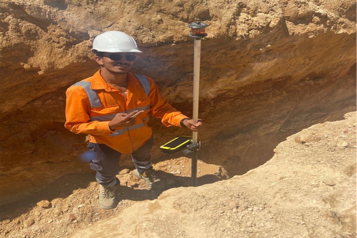
1. Surface Mapping/Visual Observation:
Surface mapping is a visual observation technique used to map and record the exposed soil and rock layers on the site. This method provides valuable information about the site’s geology, soil type, and potential geological hazards. Surface mapping is a cost-effective technique that is useful in preliminary site assessments.
2. Soil Drilling:
Drilling is a technique that involves drilling boreholes into the ground and extracting soil and rock samples for laboratory testing. This method provides detailed information about the site’s geology and soil properties, including strength, stiffness, permeability, and bearing capacity. Drilling is a more invasive technique than surface mapping, but it provides more accurate information about the site’s subsurface conditions.
3. Geophysical Test:
Geophysical surveys involve using instruments to measure the physical properties of the soil and rock layers beneath the surface. This technique provides information about the site’s subsurface structure and can be used to identify potential hazards such as sinkholes or underground voids. Geophysical surveys are non-invasive and can cover a large area quickly, making them useful in preliminary site assessments.
4. Remote Sensing And GIS:
Remote sensing involves using aerial photographs and satellite imagery to obtain information about the site’s topography, geology, and vegetation cover. This technique can be used to identify potential hazards such as landslides or flood-prone areas. Remote sensing is a cost-effective technique that can cover a large area quickly, but it provides less detailed information than drilling or geophysical surveys.
How To Select A Particular Site Investigation Method
The method chosen for investigating a site depends on multiple factors, such as the size and complexity of the location, its intended use, and the project’s budget. For example, smaller sites may only require surface mapping and drilling, while larger, more complicated sites may necessitate geophysical surveys and remote sensing.
Furthermore, the intended purpose of the site plays a significant role in the selection of investigation methods. Construction of a high-rise building on a site may require more extensive investigations than a site intended for a small family home.
Closing Words
Geological site investigations are critical for civil engineering projects since they provide essential information about the site’s geology and soil properties. The information collected during these investigations is utilized in creating geotechnical reports that offer guidance on designing and constructing structures.
The selection of investigation methods is influenced by several factors, including the site’s size and complexity, its intended use, and the project’s budget. By conducting thorough geological site investigations, civil engineers can ensure successful project completion while minimizing risks and hazards.
Faqs
To gather information about the physical, mechanical, and geological properties of the ground at a construction site for safe and economic design of engineering works.
A site investigation is typically conducted by a geotechnical engineer or a team of specialists trained in soil mechanics and geology.