Table of Contents
Contour Interval Definition
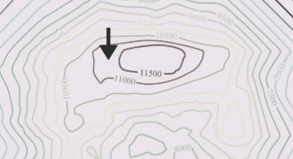
Contour interval is the elevation difference between two consecutive contour lines on a topographical map.
Description
Every topographical map have its own unique contour intervals. It can be specified based on the size of the area to be mapped.
Most of the topographic map specified it on the right hand bottom side of the map. In case, contour interval is not specified, it can be calculated as described in the sections that follow.
For a general 1:24,000 map scale, the standard contour interval is 20 feet.
How To Find Contour Interval
Here is the simple formula to find out contour Interval.
Contour Interval Formula = Difference in elevation between the index contour lines/Number of contour lines from one index contour line to the next.
Uses
Contour intervals are employed when a huge area needs to be mapped on a tiny piece of paper.
For a wide area, a higher contour interval is employed, and for a small area, a lower contour interval.
Index contour lines are minimized on large maps to make it easier to read the map. Contour intervals are employed in this situation to determine the height of the intermediate sites.
The contour intervals on a map can be used to determine the estimated amount of earthwork needed for any form of structure, such as bridges, dams, or roadways.