Table of Contents
Contour Line Definition
Contour lines are used to represents dip and elevation in a topographic map. Contour lines are also called as isoline.
Description
The vertical separation or elevation difference between contour lines is known as a contour interval. After three, four or five lines there is an index contour, which is a bolder line.
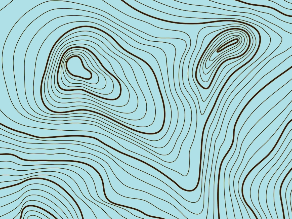
Contour lines connects ground points which have equal elevation. Contour lines are used to show arious geographical features such as valley and hills.
Contour lines can be straight or curved depend on hypothetical surface intersection. These contour lines may also be interpolated from the estimated surface elevations.
Properties Of Contour Lines
- Two contour lines can not cross each other.
- They are parallel to each other.
- These lines does not cross building.
- Contour lines only connects equal points of elevation.
- Contour lines can have different colors.
Types Of Contour Lines
1. Index Lines
The thickest contour lines are called index lines, and they are typically numbered at some point along their length. You can see the elevation above sea level from this.
2. Intermediate Lines
The thinner, more prevalent lines in between the index lines are called intermediate lines. Typically, they are not labeled with a number. In general, there is one index line for every five intermediate lines.
3. Additional Lines
Dotted lines on additional lines denote terrain that is flatter.
Final Thought
Contour lines are very important in topographic map. Topographic map consist of contour lines. These lines represents the accurate elevation of an area which helps to collect data for topographical survey.
Thanks for reading this article!
Happy Learning!