We use various types of maps in our daily routine such as google maps. In this article, we will discuss a different type of map which is called topographic map. Topographic map have a huge importance in the field of surveying.
Table of Contents
What Is Topographic Map?
Topographic map is used to represents geographical features in a simple way. Topographic map uses contour lines to show various features in the map. Artificial and natural objects is shown together in the map.
Description
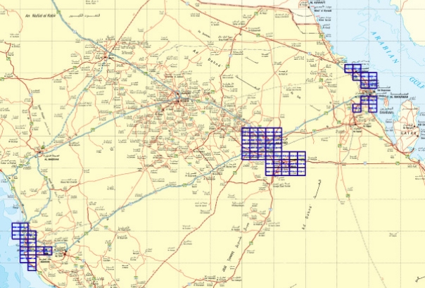
A topographic survey is normally composed of two or more map sheets that are combined to create the entire map and is released as a map series based on a systematic observation.
A topographic map series employs a standard geodetic framework that specifies the map projection, coordinate system, ellipsoid, and geodetic datum as well as a common specification.
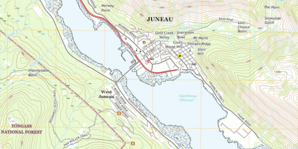
Topographic map of USA is shown below.
Uses
There are various uses of topographic map. Topographic maps are used in various fields such as civil engineering, architecture and earth science.
Big tech companies and government organizations creates topographic maps for the purpose of navigation.
Topographic maps used to create new transportation networks such as metro lines.
Topographic maps also used to study a large area on a smaller scale.
Final Words
GIS experts can use the modern topographic map as a basemap, and anyone can use it as a reference map. The map shows administrative boundaries, cities, hydraulic structures, physiographic features, contours, parks, landmarks, highways, roads, and railway lines.