Table of Contents
Geodesy Definition
Geodesy can be defined as the science of accurately determining the Earth’s dimensions, mass distribution, orientation and time variations.
Geodesy Meaning
If we talk in simple way, geodesy is study of earth’s behavior based on shape, size and direction.
Study of earth in comparison with other planets is known as planetary geodesy.
Description
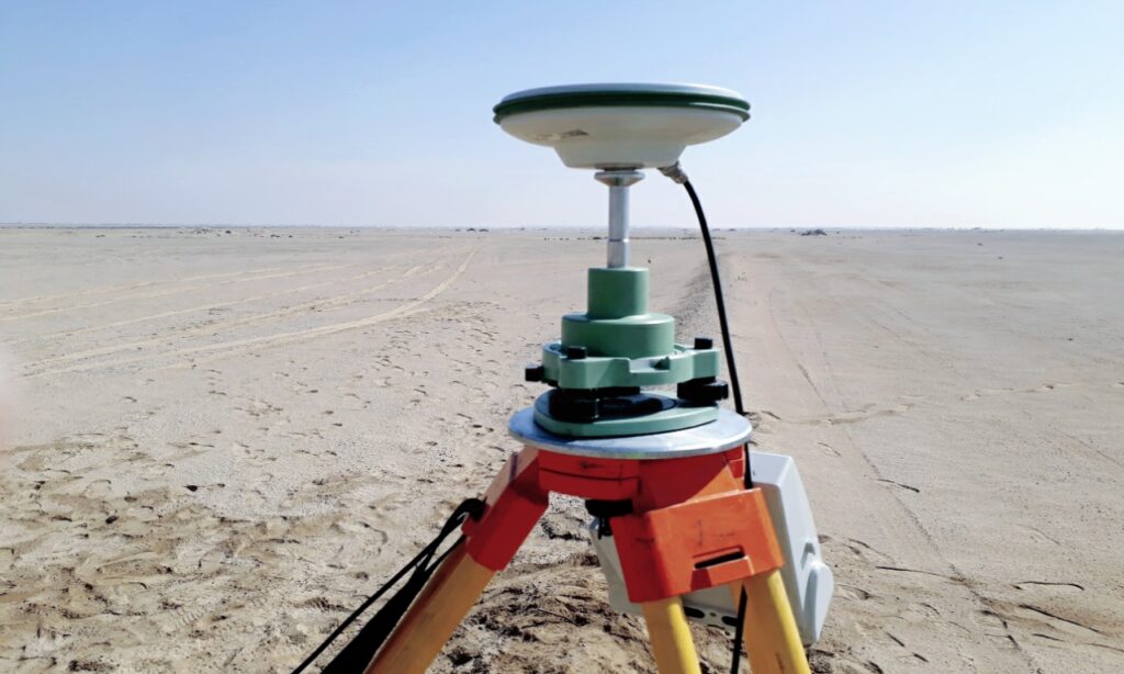
Geodesy is used to map out geographical borders and increase the safety of navigation and transportation. Geodesists give coordinates to places all around the globe in order to measure points on the surface of the planet. The most well-known tools for measuring points on the surface of the Earth are GPS and GIS.
It is crucial to consistently and precisely specify the coordinates of points on the surface of the Earth. Geodesists create straightforward mathematical models of the Earth that capture its greatest, most pronounced features in order to measure it. The ellipsoid has become the most fundamental representation of the Earth among geodesists.
Conclusion
Geodesy has evolved to be more concerned with changes in the geometrical features on, beneath, or above the surface of the solid Earth and oceans. This is due to today’s significantly improved geodetic instrumentation and techniques. The geophysical, oceanic, atmospheric, hydrological, and environmental science communities are all served by geodesy.
Geodetic applications are helpful for many social endeavors, from disaster preparedness and mitigation to environmental and biosphere preservation. Numerous ways that geodesy helps to improve security, the efficient use of resources, and ultimately the achievement of sustainable development on our vulnerable planet.