Table of Contents
What Is Geodetic Survey?
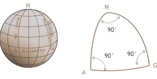
Geodetic survey uses size, shape, and curvature of earth establish the exact location of fixed points on its surface. This type of survey is used when area is very big. For large area, plane survey does not give accurate results. Hence, geodetic survey is used.
Purpose Of Geodetic Survey
- To track the angular and horizontal movements of land.
- To keep track of and resolve any structural deformations and construction issues brought on by crustal movements and gravitational forces.
- It can serve as a guide for civil engineers to be cautious of failure and damage before, during, and after construction.
- To compute the size of a large land area.
Geodetic Survey’s Importance
It offers the precise information required for the project in the survey. Construction of buildings like roads and highways may benefit from it. It may serve as a warning system or alertness to reduce construction failure risk and fluctuation.
Characteristics of Geodetic Survey
- Geodetic survey gives very precise data.
- This type of survey is conducted for large area.
- Earth is asuumed as spherical.
- Normally, government organizations perform geodetic Survey.
- Triangles are assumed to be spherical and surface lines are assumed to be curve lines.
Final Thought
Geodetic survey is performed by using satellites. GPS and GIS tools are also used to collect the data. This type of survey provides highest degree of accuracy.