Table of Contents
Remote Sensing Definition
Remote sensing is the collection of data without touching object. It works like a digital survey. Object does not comes in contact with survey instrument. This data is further processed to analyze. Study of various planets such as earth, moon and mars are done by applying the remote sensing concept.
Both passive and active remote sensors are available. Sensors that are passive react to outside stimuli. They capture the natural energy that the Earth’s surface reflects or emits. Reflected sunlight is the most frequent radiation source that passive sensors can detect. Data is gathered by remote sensors by identifying the energy reflected from Earth. These sensors may be installed on satellites or aircraft.
Data Processing In Remote Sensing
Extrapolating sensor data in relation to a reference point, including the distances between well-known sites on the ground, is the initial step in remote sensing. Depending on the kind of sensor being used, this. Measurements are more precise at the image’s center, becoming increasingly distorted as you move away from it.
When using images to assess ground distances, another consideration is the platen against which the film is pressed, which can result in significant mistakes. The process of solving this issue is known as georeferencing, and it entails computer-assisted matching of points in the image that are extrapolated using a reference point in order to create accurate spatial data.
Components Of Remote Sensing Systems
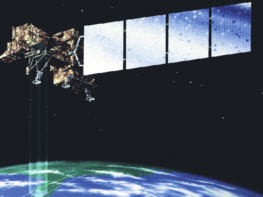
Platform and sensors are two important parts of remote sensing system. Platforms are the carriers for sensors. Platform can be static or dynamic.
Sensors are used to take electromagnetic radiation and transforms it into a signal that can be saved and shown as either numerical data or an image.
Applications Of Remote Sensing
Remote sensing data helps us keep up-to-date with land-use patterns over large areas and monitor changes that occur from time to time. Can be used to update road maps, asphalt conditions, and wetland delineation. This information is used by local planners and managers to formulate policy agendas for the development of the entire region.
Remote sensing is widely used in India for weather forecasting. It is also used to warn people of upcoming hurricanes.
It can be used to study deforestation, fertile soil degradation, air pollution, desertification, eutrophication of large bodies of water, and oil spills from oil tankers.
Remote sensing can be used to investigate damage caused by earthquakes, volcanoes, landslides, floods, and melting polar ice. Remote sensing is often useful in predicting the occurrence of natural disasters.
Remote sensing data helps update existing geological maps, rapidly create lineament and tectonic maps, locate mineral extraction sites, and locate fossil fuel deposits.
FAQ
What Are Examples Of Remote Surveying?
Taking images of various planetary objects and processing this data are the most common examples of remote sensing.