Table of Contents
What Is Line Ranger In Surveying?
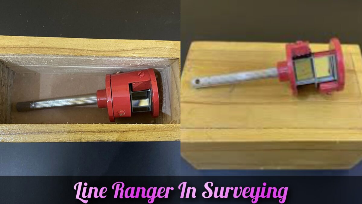
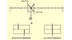
The Line Ranger is an optical device employed in surveying for the purpose of range finding. Its primary function lies in accurately determining the position of an intermediary point along a direct path connecting two endpoints of a survey line.

How It Works
The Line Ranger is a special tool that helps surveyors measure distances between points. It uses special things like lenses, prisms, and mirrors to do this. It has a telescope or a special electronic system that helps surveyors look at the endpoints of the survey line.

To use the Line Ranger, surveyors start by putting it at one endpoint of the survey line. They look through the telescope and line it up with a reference point at the other endpoint. The Line Ranger makes things look bigger and clearer, so surveyors can see better.
After that, the surveyor finds the middle point along the survey line. They use the controls on the Line Ranger to move it up, down, left, and right until it lines up perfectly with the middle point. The Line Ranger has special tools to measure the exact distance between the endpoints and the middle point.
The measurements from the Line Ranger can be written down or stored in a special device. Sometimes surveyors write them in a notebook, and sometimes they save them in a digital format.
The measurements from the Line Ranger help surveyors make maps and plans. They use other tools too. These maps and plans are important for things like building things, planning roads, marking boundaries, and taking care of the environment.
Uses Of Line Ranger In Surveying
Line ranger is a way to estimate distances between things without using precise measurements. It is helpful when we want to know how far apart different objects are.
We can use line ranger when there are things in the way, like a river or a big forest, and we can’t walk straight to the other side. It helps us measure the distance even if there are obstacles.
Sometimes we need to measure distances in places that are hard to reach, like mountains or dangerous areas. Line ranger allows us to measure quickly and safely without going there.
When we want to make sure we can see something clearly from one place to another, we can use direct ranging. We measure the distance and check if anything is blocking the view.
Line ranger can also help us create reference points for future measurements. We measure the distance between known points to make a network of reference points that we can use for more surveys later on.
