Table of Contents
What Is Sounding In Hydrographic Surveying?
In hydrographic surveying, sounding is a method of calculating the depth of water in a specified location. This is usually done using specialized instruments such as sonars or echosounders, which emit sound waves and measure the time it takes for them to bounce back from the ocean floor or other underwater features.
The resulting data is used to produce detailed maps or charts of underwater topography, which are essential for safe navigation, resource exploration, and scientific research.
Sounding can also be used to locate underwater hazards such as rocks or shipwrecks, and to monitor changes in water depth over time due to factors such as tides, currents or erosion.
Sounding Methods In Hydrographic Surveying
Here are all the major sounding methods.
1. Leadline Sounding
The leadline sounding method is one of the oldest and simplest methods of sounding in hydrographic surveying. It involves lowering a lead weight attached to a line into the water and measuring the depth based on the length of the line that is wet. Leadline sounding is typically used in shallow water areas where accuracy is not a major concern.
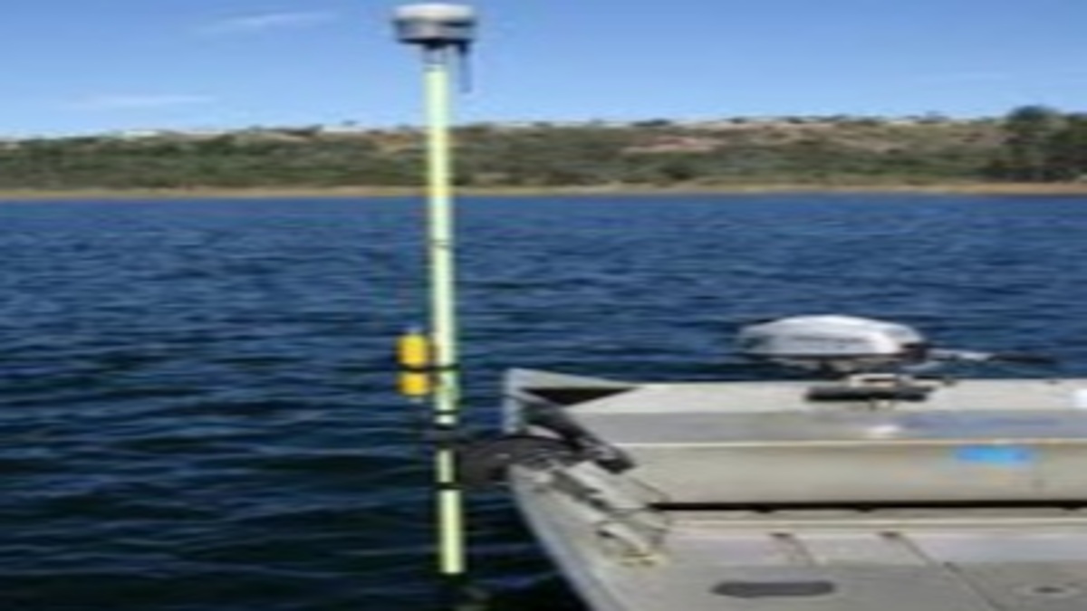
2. Echo Sounding
Echo sounding is a more modern method of sounding that involves using sonar to measure the depth of water. This method uses a device called a transducer, which sends out a sound wave that travels through the water and bounces off the bottom. The time it takes for the sound wave to return to the transducer is used to calculate the depth of the water.
3. Multibeam Sounding
Multibeam sounding is a more advanced method of sounding that is used in deeper water areas. This method uses multiple sonar beams that are aimed at the bottom of the body of water. The beams bounce off the bottom and return to the device, providing a more detailed map of the underwater topography.
4. Lidar Bathymetry
Lidar bathymetry is a method of sounding that uses lasers to measure the depth of water. This method is typically used in clear, shallow water areas. The lasers are aimed at the bottom of the water and the time it takes for the laser to bounce back is used to calculate the depth of the water.
5. Satellite Altimetry
Satellite altimetry is a method of sounding that uses satellites to measure the height of the water’s surface. This method is typically used in large bodies of water, such as oceans. By measuring the height of the water’s surface, it is possible to calculate the depth of the water.
Summing Up
There are several methods of sounding in hydrographic surveying, each with their own advantages and disadvantages.
These methods include leadline sounding, echo sounding, multibeam sounding, lidar bathymetry, and satellite altimetry.
By using these methods, hydrographic surveyors are able to create accurate maps of the underwater topography, which is essential for a variety of industries, including shipping, oil and gas exploration, and fisheries management.
FAQ
Leadline Sounding, Echo Sounding, Multibeam Sounding, Lidar Bathymetry and Satellite Altimetry.