Table of Contents
Introduction
As the name suggested, aerial survey is a type of survey which is conducted from the space. Aerial survey can be used to develop a map of an area or it can be used to study wildlife inhabitants.
Various government organizations and companies that are paid to conduct surveys can all conduct this kind of surveying. Aerial survey data is used in many different contexts.
Description Of Aerial Survey
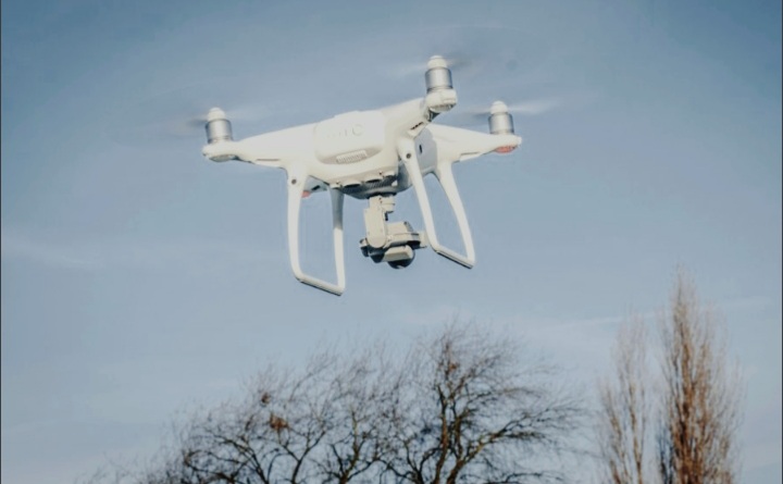
Although planes are frequently employed for aerial surveys, hot air balloons and helicopters can also be used. People specify the goal of the aerial survey, including the region to be covered, and they confirm that the weather is suitable before they begin. In order to ensure good visibility and the avoidance of having to change the aerial survey route due to inclement weather, the weather typically needs to be clear and calm.
Cameras are frequently employed in aerial surveys to record the survey. In addition to collecting images in the visible region of the spectrum, still and video cameras may also pick up emissions from regions of the spectrum like the infrared zone. This can occasionally offer important details about the area being surveyed. As when doing a wildlife survey and noting each animal seen, surveyors may also keep a log.
In order for people to know precisely where objects were seen during the aerial survey, the aircraft tags film and logs with positional fixes in addition to using GPS devices to properly track its position. Mineral exploration, wildlife, forestry, fishery, mapping, and community surveys are just a few examples of the uses for aerial surveys.
Many firms offer software for handling aerial surveys, with different versions catered to different survey operations. Using the software, comprehensive logs may be made, which can then be examined to process the data from the aerial survey. Due to the enormous amount of data, raw survey results are not routinely released, although they may be made available upon request.
In contrast to surveys on foot or in cars, persons can cover a lot of ground when doing aerial surveys. Additionally, it has a higher resolution capacity than satellite images, allowing users to balance the necessity for thorough coverage with their need for detail. Aerial surveys are incredibly common in many parts of the world, and the data they produce continue to advance our understanding of the world around us.
Types Of Aerial Survey
1. Aerial Color Survey
This type of survey replicate the landscape’s natural colors.
2. Thermal Aerial Survey
This type of survey is used in remote object analysis and improves the informational and realistic quality of the photos. This technique is utilized for tracking animals, detecting ignition sources, and monitoring urban infrastructure.
3. Digital Infrared Aerial Survey
Images with artificial colors are produced using digital infrared aerial survey. Different tones are used to show all surface changes.
Conclusion
Large regions that would otherwise be impossible to capture by conventional methods or would require multiple site visits and personnel hours to cover are best suited for aerial surveying. It is also perfect for areas with heavy traffic or restricted access that would be affected by shutdown times.