In this post, We will discuss about photographic survey. It is also called photogrammtery.
Table of Contents
What Is Photographic Survey?
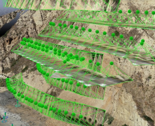
Photographic survey is the method of surveying in which we creates plans and maps by using photographs obtained at appropriate camera locations. Another name for it is photogrammery. In other terms, it is the science of measuring objects using images.
Types of Photographic Survey:
Photogrametry may be divided into two classes.
- Land Photographic Survey.
- Aerial Photographic Survey.
Let’s know more about these.
1. Land Photographic Survey
In land photographic Survey, maps are created using images acquired from the ground or from employees’ photographs taken at specific locations on the earth’s surface for measurement.
The advancement of plane table surveying is thought to be terrestrial photography surveying.
2. Aerial Photographic Survey
In aerial photographic survey, aerial photos are used to create maps. There are two main areas of specialty in photo-grammetry.
Surveyors are primarily interested in the first area since it is used to calculate distances between elevations, areas, and volumetric cross-sections, as well as to create topographic maps using measurements taken from pictures. Using photographic photographs of objects, interpretive photogrammetry determines the significance of the objects. Shape, size, pattern, and shadow are important considerations when identifying items.
Uses Of Photographic Survey
- Topographic maps are created using photogrammetry, which has benefits.
- Speed at which a region is covered.
- Relatively affordable.
- Easy access to topographic information.
- Reduce the likelihood of leaving out a date because of how much detail is displayed in the images.
- The computation of section corner, body corner, or pieces of evidence that assist in locating these corners’ coordinates is employed in land surveying.
- In hydrographic surveying, shorelines are created using photogram techniques.
- In control surveying, it is employed to preside over ground coordinates of locations.
- Used for surveying, cross-section routing, and map development.
- Numerous non-engineering sectors, such as geology, archeology, forestry, agriculture, conservation, military intelligence, and accident investigation, successfully employ photogrammetry.
- It is especially appropriate for off-limits areas, illegal properties, etc.